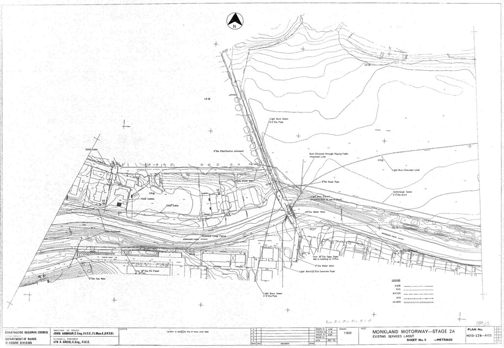
This is a fairly old black & white scan of one of the Monkland Motorway (now the M8) scheme drawings from the early 1970s - this drawing is of the area in the vicinity of the Cranhill high-rise flats and Whitehill playing fields.
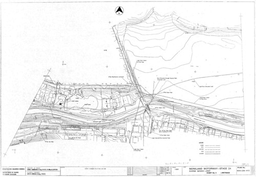
Larger version
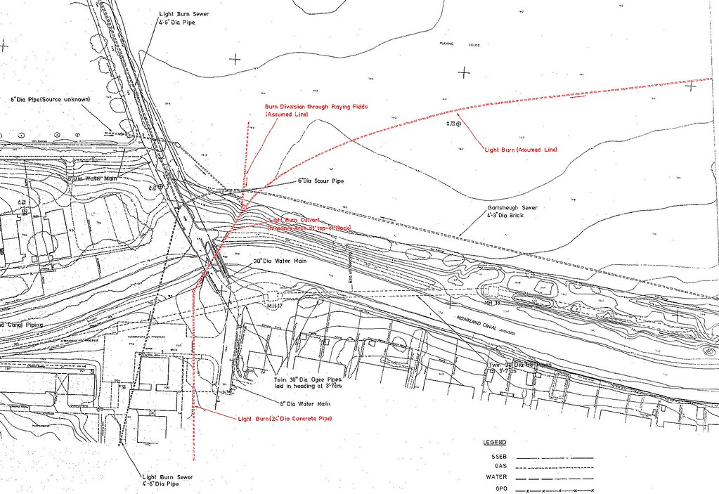
hereHeading upstream past the high-rise flats, the drawing shows the Light Burn going underneath the Monklands Canal and then turning in a north-easterly direction. From there the next drawings (not shown) show it running alongside the north side of the canal, with an offshoot of it crossing underneath the canal (at roughly the existing position of Stepps Road) and then running along the south side of the canal.
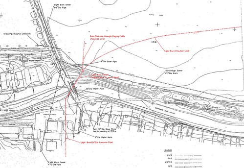
Larger version
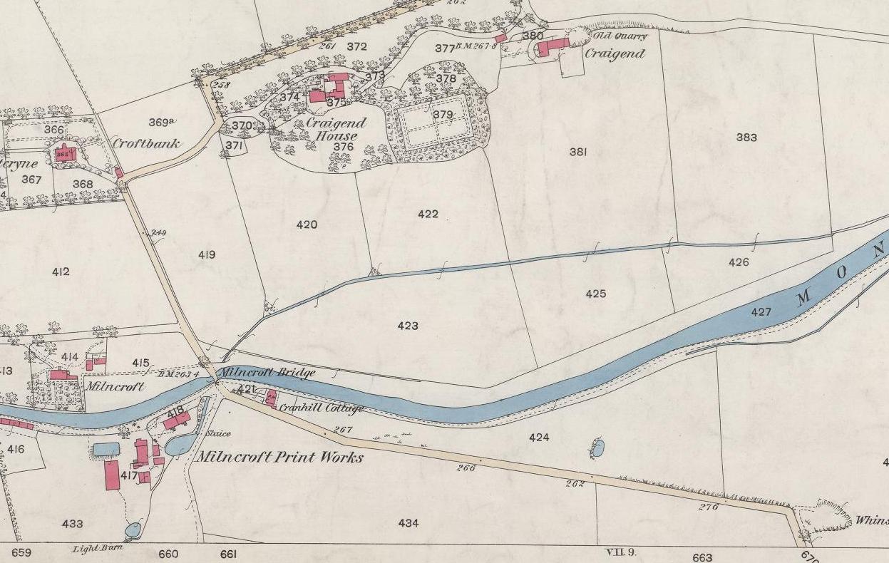
hereThis corresponds with the line of the burn as shown on the 1864 OS plan.
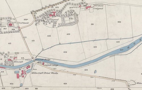
Larger version
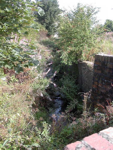
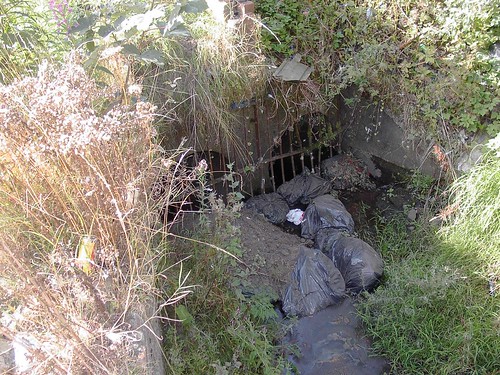
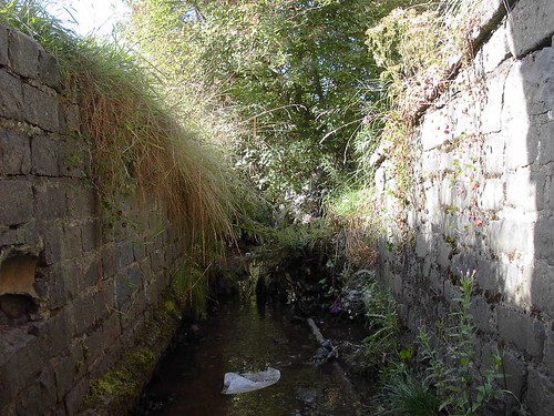
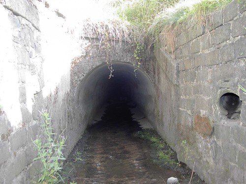
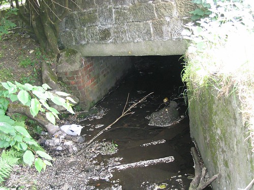
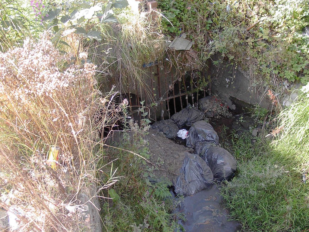
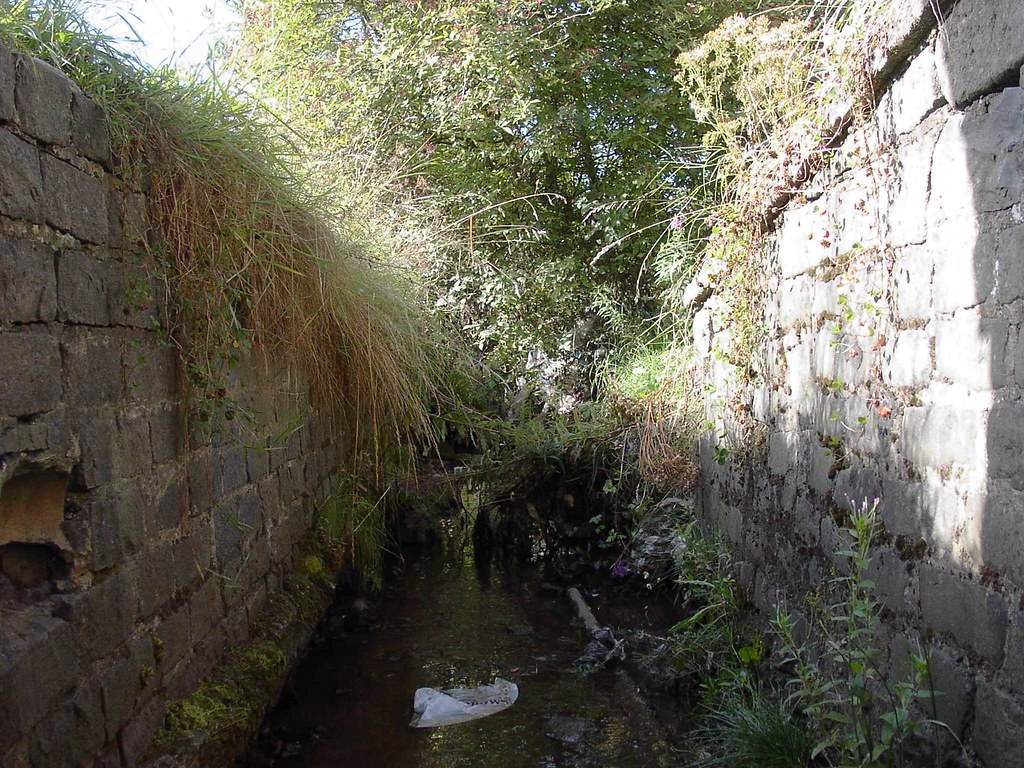
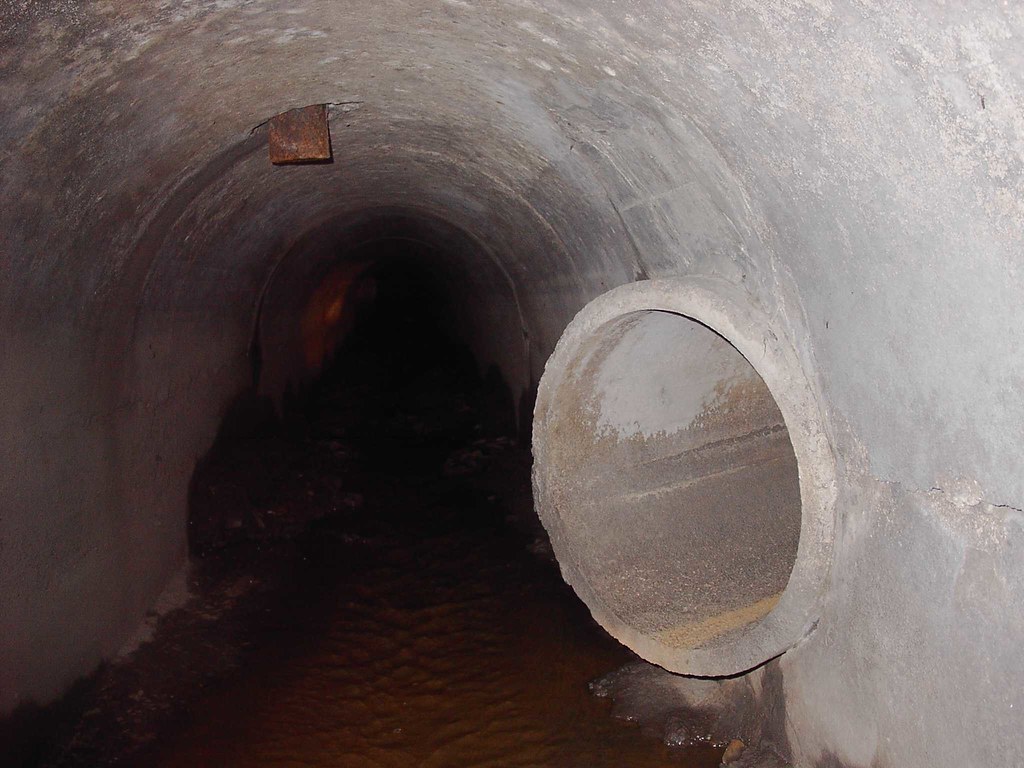
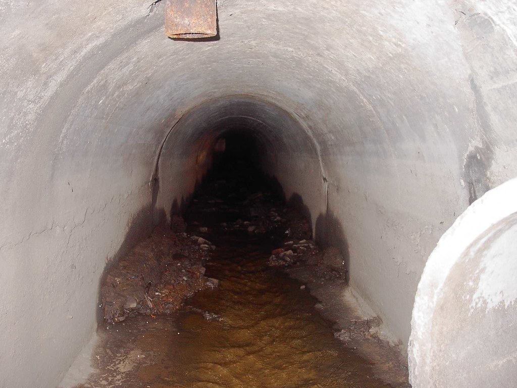
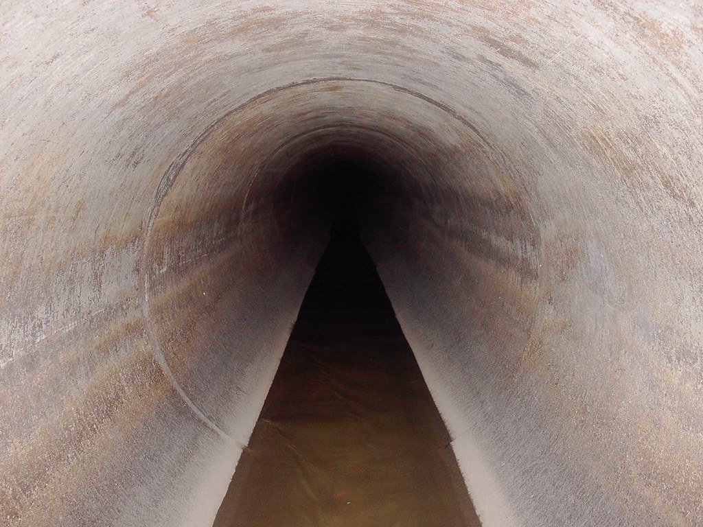
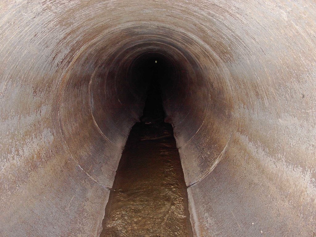
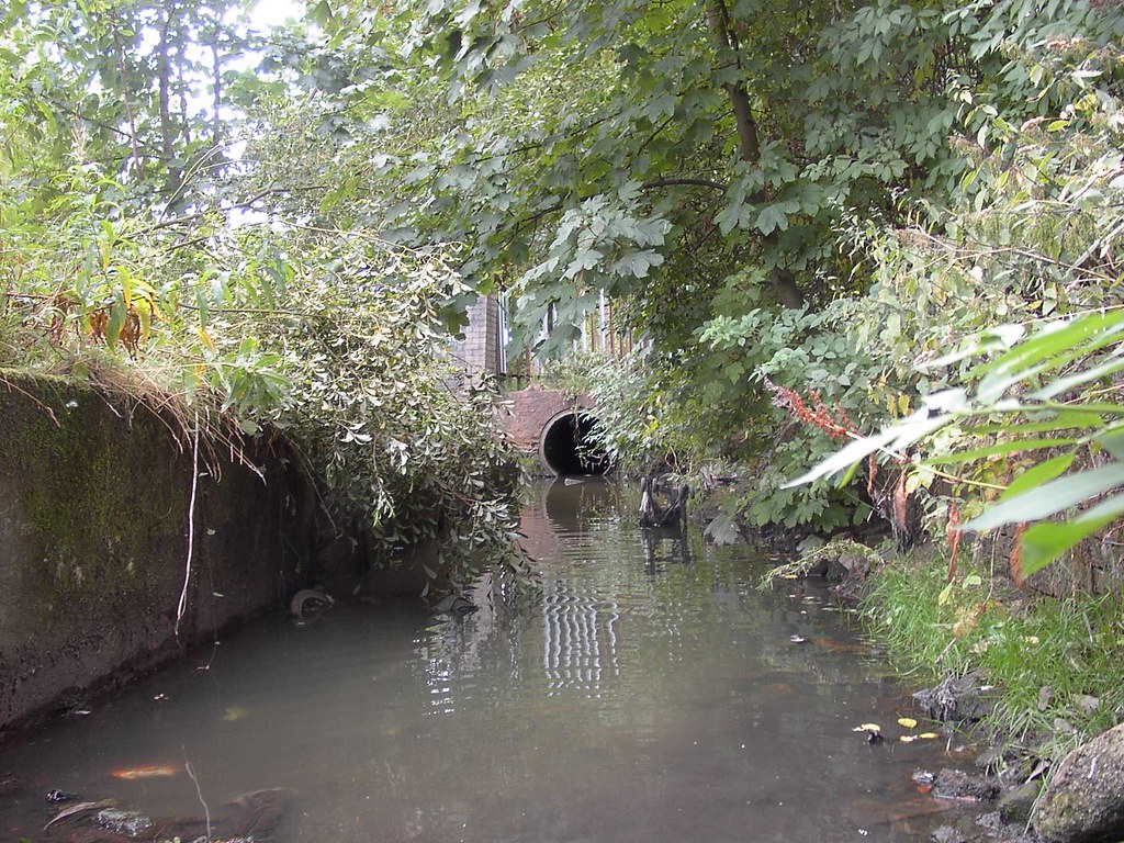
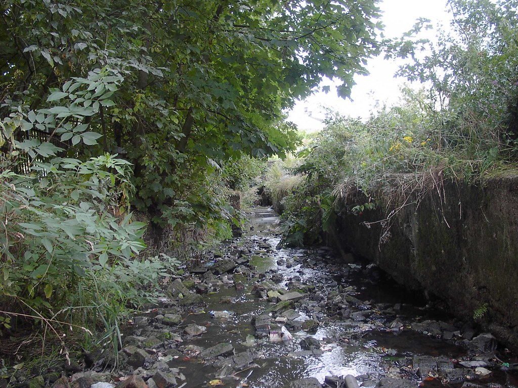
hereMany years ago we made an attempt to survey the culvert upstream from a manhole to the north side of the motorway. It was found, however, that the manhole was badly surcharged and we therefore had to abandon this idea as we couldn't identify the location of any other manholes on the upstream section.


