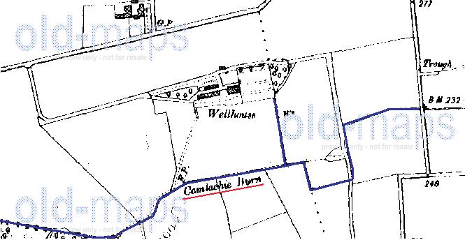
Scottish Water plans showing the line of the Camlachie Burn had been posted (by Toomse), however the plans don't show the full length of the burn - they only show it up to where it crosses Edinburgh Road at Barlanark/Wellhouse. I commented that I knew it extended beyond that point.
I thought I'd help illustrate this with the aid of a plan extract from the OS Old Maps website.
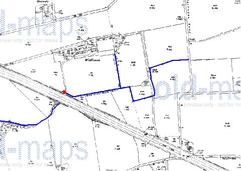
Below is an extract of the OS 1934 plan (I chose this one as this is the earliest one showing Edinburgh Road, which is our reference feature) for the area of interest. You can just about make out the line of the Camlachie Burn to the north of Edinburgh Road, with the words 'Camlachie Burn' and a directional flow arrow being barely legible.

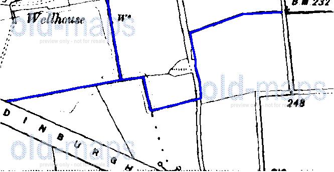
Below is the same plan with added annotation to show the line of the burn and the uppermost point (indicated by the red dot) to which Scottish Water's plans show the Camlachie Burn.
The furthest upstream section (the bit running east to west with a slight bend in it) in the above plan is the section in (what is now part of) the grounds of Easthall Primary School that I referred to in my previous post mentioned above, as quoted below.
Glesga_Steve wrote:The culvert runs along the southern boundary of Langbar Crescent (on the grass verge side of the fence), follows it round parallel to Wellhouse Road and then crosses the road into Easthall Primary School. If you take a trip out there you'll notice there are large heavy duty rectangular manhole covers along this route that are not shown on our GIS - they are on the culvert. I know this because I traced the line for work purposes many years ago (before we had GIS and everything was recorded on paper plans).
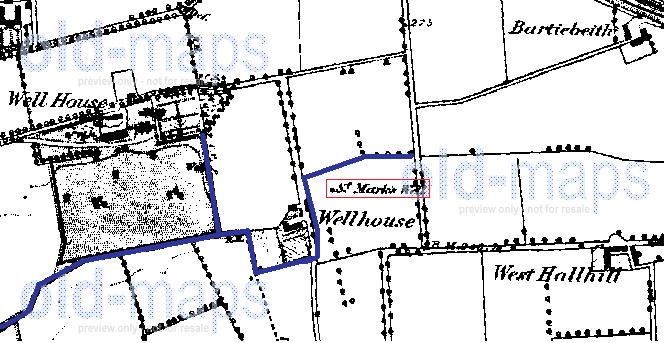
If you zoom into the school, you'll notice a small surface water sewer is shown running along the embankment to the south of the football pitch - this is in fact, the top of the Camlachie Burn culvert.
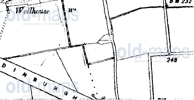
Below are extracts of the OS 1946 plan showing a close up of the part of the burn north of Edinburgh Road.
The burn still flows through this area in culverted form, though the route was changed when the Wellhouse area was developed. It doesn’t seem to have a natural source any longer as the dry weather flow in the upper section is practically non-existent (from memory it’s barely a trickle – this is probably just groundwater infiltration through the pipe). It’s ‘source’ in this area now is the highway drainage discharges in wet weather.
Our archive at work has a copy of the drainage layout for the area (it's drained on a partially separate system - the foul waste and roof run-off drains to the public sewerage system; the road drains to a highway drain, which is not shown on Scottish Water's plans, and this then drains to the Camlachie Burn) when it was first developed - I'll fish it out next time I'm there as I'm pretty sure it shows the realigned route of the burn in its culverted form.


