Re: whitelee wind farm
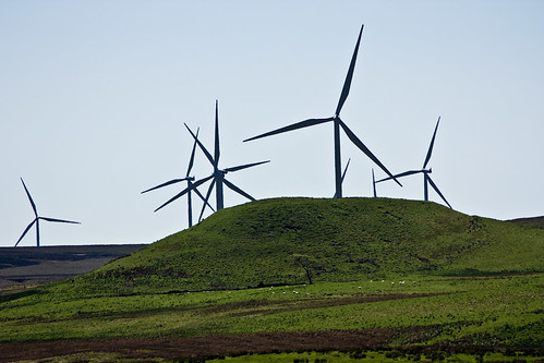
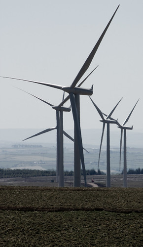
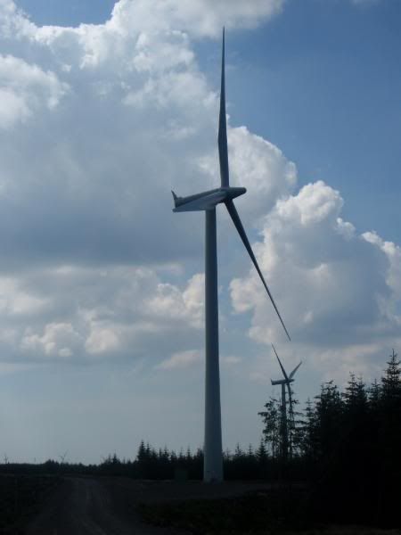
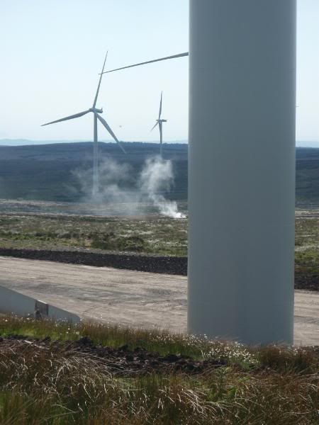
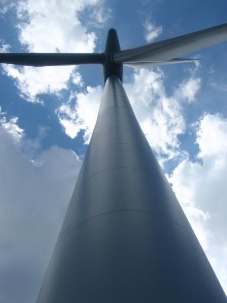
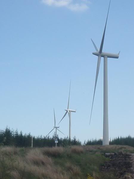
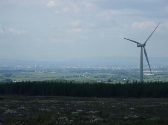
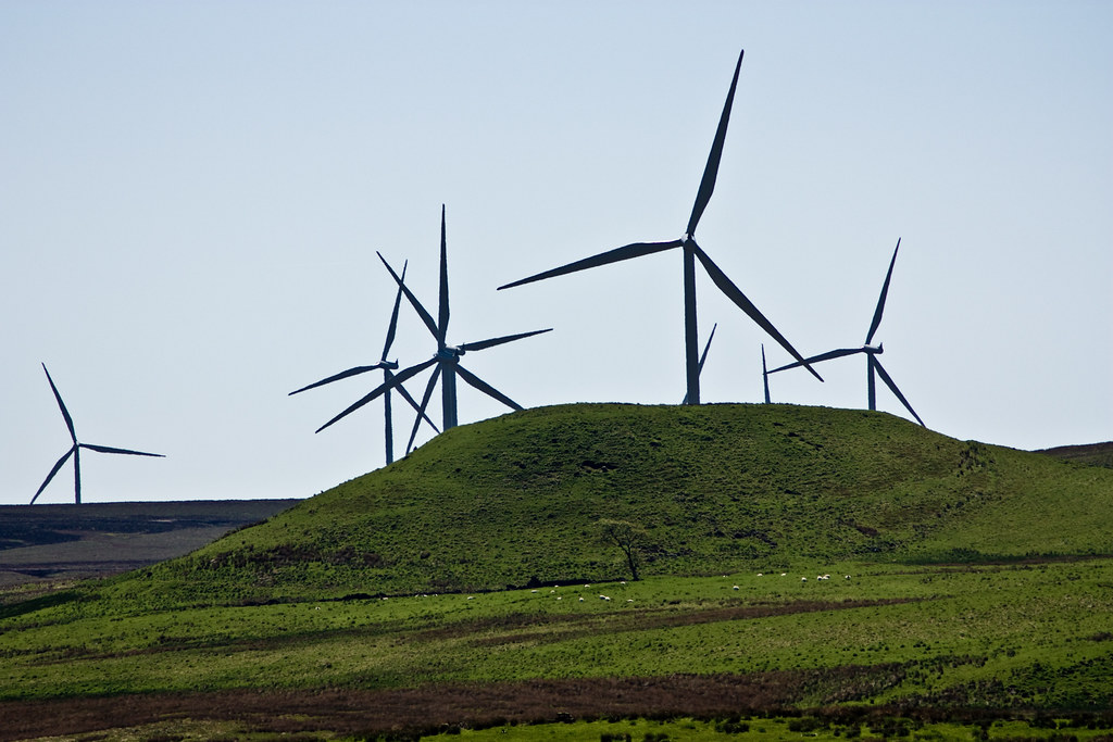
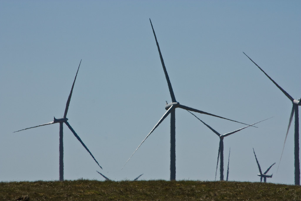
I drove along the Eaglesham moor road the other day and got a pic, the road is single track, with passing places, there wasn't really a good place to stop to take pics. windy as hell BTW 

To post in the forums you will need to first register. All new members are welcomed, with one caveat: You must behave and be nice AND SEARCH BEFORE POSTING!
http://www.hiddenglasgow.com/forums/
http://www.hiddenglasgow.com/forums/viewtopic.php?f=3&t=8796
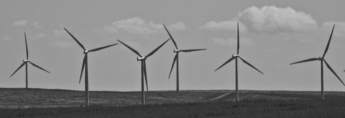
cell wrote:Fantastic bits of engineering and impressive though they are, it should be remembered that despite our current government’s hype, this farm currently has a total capacity of about 320MW, which is only an 1/8th of Longannet and can only generate when the wind blows.
I think wind has its place but only as part of a diversified generation portfolio. Where it should be, is offshore where it doesn’t gobble up land and the wind is more reliable.
Oh yes and surly the machines could be designed and built in Scotland?
dave3009 wrote:cell wrote:Fantastic bits of engineering and impressive though they are, it should be remembered that despite our current government’s hype, this farm currently has a total capacity of about 320MW, which is only an 1/8th of Longannet and can only generate when the wind blows.
I think wind has its place but only as part of a diversified generation portfolio. Where it should be, is offshore where it doesn’t gobble up land and the wind is more reliable.
Oh yes and surly the machines could be designed and built in Scotland?
The worlds finest wind generators are built in Ayrshire by Proven. I haven't checked their range recently but I think they concentrate on the light commerial/domestic markets - So schools, farms and stuff.
Windcrofting will certainly enhance things once these addle brain farmers get their heads around the benefits, I mean the wind seldom stops blowing in these parts who wouldn't want the lure of free electricity plus enough income from supplying the over generation back to the grid to make the payments on the turbine.
This is also fairly new technology, or should that be there is still a very long way to go in the methods of exploiting nature to harness energy with burning stuff.

Kennedy Heroin wrote:
eob wrote:Neds however are free game.
