Whitelee Wind Farm12th October 2008


Map below Myers hill with windmills marked. Don't trust the roads that are marked on it. They were different when I got up there.
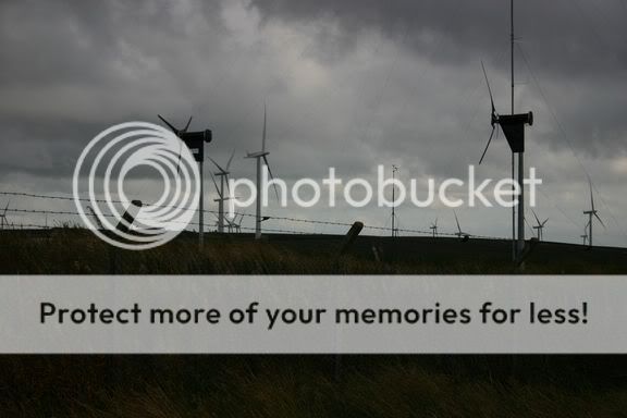
Windmill research station at the top of Myers Hill

One of 140

Heavy plant used during construction

Windmill under construction

Laid out ready for assembly

 Slideshow >>
'Scuse old bus timetables and maps to start with.
Remember: if you're going up there, it's ten miles by about six and it's not marked on the Ordnance Survey yet.
I find it difficult to assess the size of the windmills, yet they dominate the landscape and so determine one's perception of the size of the open space. They're a lot larger than they appear to be, but this only becomes apparent once you're among them. Suddenly you'll feel like an ant in an alien environment. Sixty square miles is not to be messed with. If you think you're out for a stroll, forget it. You need good hiking boots and stamina. If you're good for a twenty mile hike in day, you'll be alright, but if your usual stroll is a five minute walk to the pub, forget it.
Also, don't forget the reason why those windmills are there in the first place. Wind, and plenty of it.
Pack some sandwiches and enough water to see you through an afternoon. Make sure your mobile is charged and all the rest of the usual precautions when dealing with wide-open wild spaces.