The source of the Beans Burn (which is unsurprisingly the name of the stream you referred to) appears to be in the vicinity of Onthank Nursery/Primary School. Scottish Water's GIS shows a 300mm diameter culvert starting next to the junction of Meiklewood Road/Hareshaw Drive [NGR 243037,640263; the slotted manhole cover in the grassed area in this
GSV image is at the start of the culvert according to the GIS - GSV has Hareshaw Drive incorrectly named as Craufurdland Road], then making its down to Beansburn and into Dean Park where it joins the Kilmarnock Water.
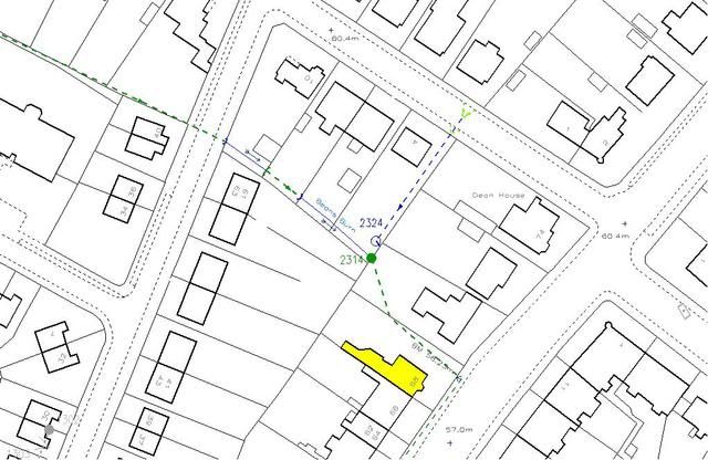
The
1864 OS plan appears to show the burn starting at the northern end of Wardneuk Drive [NGR 243243,639997], though this is on the line of the abovementioned culvert. 'Beansburn' appears on this plan as the name of the local area so it obviously dates back quite some time.
The burn is entirely culverted upstream of Dean Park with the exception of a short length as it passes through the gardens of 4 to 10 Knockinlaw Road (though the short section through No. 6 is also culverted) - it goes back into culvert at the rear boundary line of 70 Beansburn. From start to finish, the burn measures approx 1685m. There isn't a recorded size on the GIS for the downstream stretches, however it is indicated as being 900mm diameter as it crosses underneath Western Road so I would think it carries a fair flow.
Blairmuckhole Farm still exists - the farm buildings are located approx 900m north of the quarry, on the opposite side of the M8 (the road the farm is located on is called
Blairmuckhole and Forestdyke Road). The
1864 OS plan (look on the left hand edge) shows the farm buildings in the same general position as they are located to this day, though the spelling is slightly different (
Blairmuchole). Interestingly, there is/was a Blairmuckhill (and is spelt as such on the 1864 OS plan) Farm a short distance to the NE. Again, the name is obviously old so it's hard to say where it may have come from.