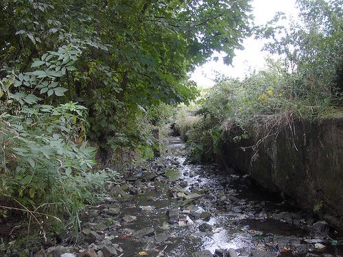
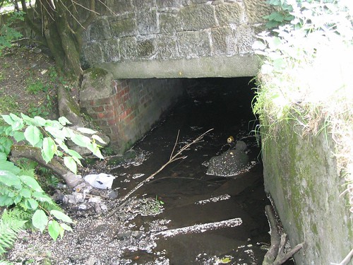
Light Burn

Moderators: John, Sharon, Fossil, Lucky Poet, crusty_bint, Jazza, dazza

Light Burn

Postby toomse » Mon Jul 27, 2009 10:17 am

link to Glasgow Strategic Drainage Plan case study information on Light Burn
http://www.ciwem.org/groups/wapug/scot2004page.pdf

Image


Image


the study quotes the burn originating around this area of the M8
Image


1st recorded location at Edinburgh Road/Carntyne Grove
Image


as usual - follow the green line
Image


Image


Image


Image


Image


the burn should be visible at this location
Image


point where Light Burn merges with the Camlachie Burn
Image
User avatar
toomse
Second Stripe
Second Stripe
 
Posts: 249
Joined: Wed Nov 19, 2008 3:52 pm

Re: Light Burn

Postby toomse » Wed Jul 29, 2009 1:19 pm

To avoid confusion there’s also a Light Burn that runs through Cambuslang. I think it may be sourced from this spring at Kirkhill golf course but could be wrong
Image


Image
User avatar
toomse
Second Stripe
Second Stripe
 
Posts: 249
Joined: Wed Nov 19, 2008 3:52 pm

Re: Light Burn

Postby Glesga_Steve » Wed Jul 29, 2009 11:49 pm

This is a fairly old black & white scan of one of the Monkland Motorway (now the M8) scheme drawings from the early 1970s - this drawing is of the area in the vicinity of the Cranhill high-rise flats and Whitehill playing fields.

Image
Larger version here

Heading upstream past the high-rise flats, the drawing shows the Light Burn going underneath the Monklands Canal and then turning in a north-easterly direction. From there the next drawings (not shown) show it running alongside the north side of the canal, with an offshoot of it crossing underneath the canal (at roughly the existing position of Stepps Road) and then running along the south side of the canal.

Image
Larger version here

This corresponds with the line of the burn as shown on the 1864 OS plan.
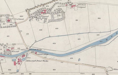
Image
Larger version here

Many years ago we made an attempt to survey the culvert upstream from a manhole to the north side of the motorway. It was found, however, that the manhole was badly surcharged and we therefore had to abandon this idea as we couldn't identify the location of any other manholes on the upstream section.
User avatar
Glesga_Steve
Third Stripe
Third Stripe
 
Posts: 674
Joined: Sat Mar 14, 2009 12:46 am

Re: Light Burn

Postby myfriendstan » Thu Jul 30, 2009 1:56 pm

I remember the Light Burn well. You used to be able to access it beside the off sales on Edinburgh Rd opposite Cranhill Park and at the playing fields in Greenfield.
User avatar
myfriendstan
Second Stripe
Second Stripe
 
Posts: 189
Joined: Fri Oct 08, 2004 6:56 pm
Location: Glasgow

Re: Light Burn

Postby Glesga_Steve » Thu Jul 30, 2009 9:41 pm

The short section behind the off sales (Haddows? - don't think it's an offy any more) is still open but not sure if it's still easily accessible since they built that wee residential development (Carntyne Grove) on the bit of wasteground next to it.

Not sure how far back you're talking about at Greenfield Park (I believe there used to an open section along the rear of the Cardowan Road houses not too many decades ago) but the only open section remaining down there is next to the bit of wasteground at the Carntynehall Road /Cardowan Road junction.

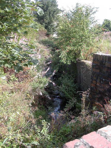
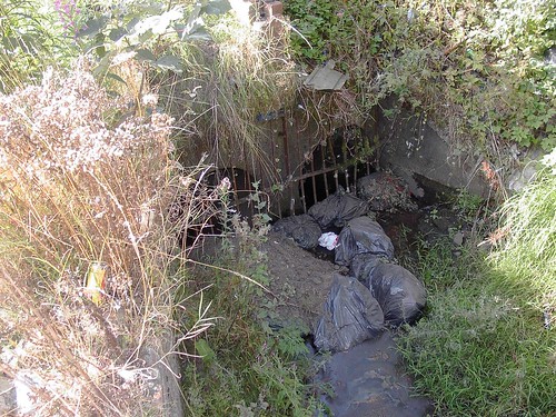
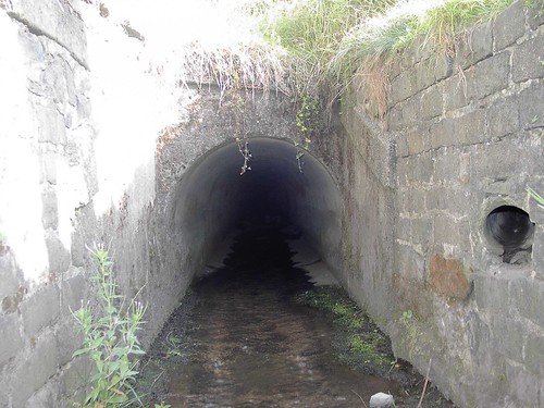
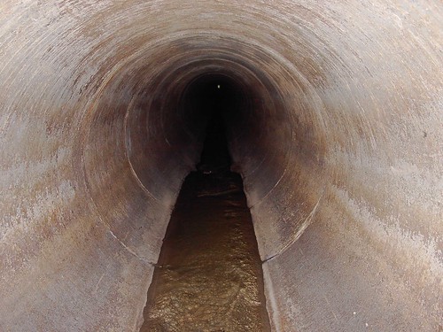
Below are some photos I took a few years ago of these open sections and within the culverts underneath Edinburgh Road and Greenfield Park.

Carntyne Road, looking upstream
Image
Larger version here

Carntyne Road twin-pipe culvert inlet
Image
Larger version here

Edinburgh Road end, looking downstream
Image
Larer version here

Edinburgh Road culvert outlet
Image
Larger version here

Edinburgh Road culvert
Image
Larger version here

A few steps further into the culvert
Image
Larger version here

Greenfield Park culvert, looking upstream
Image
Larger version here

Greenfield Park culvert, looking downstream
If you look closely you can see the speck of light at the downstream outlet
Image
Larger version here

Greenfield Park culvert outlet
Image
Larger version here

Looking upstream
Image
Larger version here

Looking downstream
Image
Larger version here

Carntynehall Road culvert inlet
Image
Larger version here
User avatar
Glesga_Steve
Third Stripe
Third Stripe
 
Posts: 674
Joined: Sat Mar 14, 2009 12:46 am

Re: Light Burn

Postby toomse » Fri Jul 31, 2009 1:26 pm

excellent pics there Steve

thanks
User avatar
toomse
Second Stripe
Second Stripe
 
Posts: 249
Joined: Wed Nov 19, 2008 3:52 pm

Re: Light Burn

Postby myfriendstan » Fri Jul 31, 2009 1:50 pm

Good stuff, cheers guys.
User avatar
myfriendstan
Second Stripe
Second Stripe
 
Posts: 189
Joined: Fri Oct 08, 2004 6:56 pm
Location: Glasgow

Re: Light Burn

Postby michaelbutters » Sat Mar 06, 2010 6:39 am

Hi alls
This is a fairly old black & white scan of one of the Monkland Motorway (now the M8) scheme drawings from the early 1970s - this drawing is of the area in the vicinity of the Cranhill high-rise flats and Whitehill playing fields.We are all about lifelong learning .Thanks for sharing this good information................Thanks once again......

For more information visit us at http://www.geomatics-uk.com
::): :oops: :cry:
michaelbutters
Just settling in
Just settling in
 
Posts: 1
Joined: Tue Mar 02, 2010 10:52 am

Re: Light Burn

Postby Josef » Sat Mar 06, 2010 9:00 am

What a curious bit of spam.
User avatar
Josef
Third Stripe
Third Stripe
 
Posts: 8144
Joined: Mon Jul 10, 2006 9:43 pm


Return to Hidden Glasgow Projects

Who is online

Users browsing this forum: No registered users and 20 guests